Our Services
Precision aerial imaging tailored for construction and property needs.


Progress Tracking
Weekly or monthly aerial updates that document key milestones, showcase before and after results, and keep your team and stakeholders clearly informed at every stage of the project
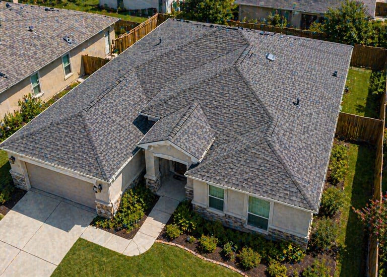
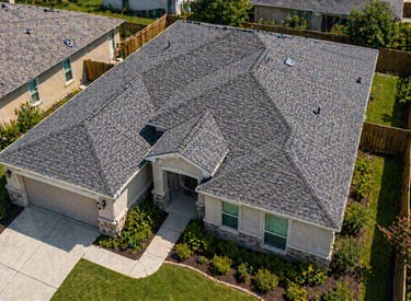
Roof Inspections
High-resolution aerial overviews to identify structural issues, drainage patterns, and roof integrity without the safety risks of manual climbs.
3D Site Mapping
Interactive 2D maps and 3D site models that give you a complete visual understanding of your project, supporting planning, progress tracking, and better decision-making.
Industries We Serve
Clear aerial visibility for construction, property, and infrastructure projects.
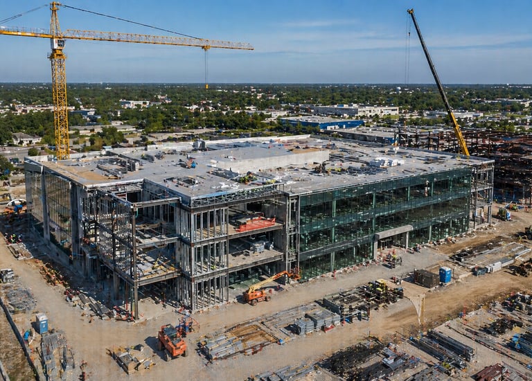
Commercial Construction
Keep large-scale projects on track with clear progress visibility and consistent updates.
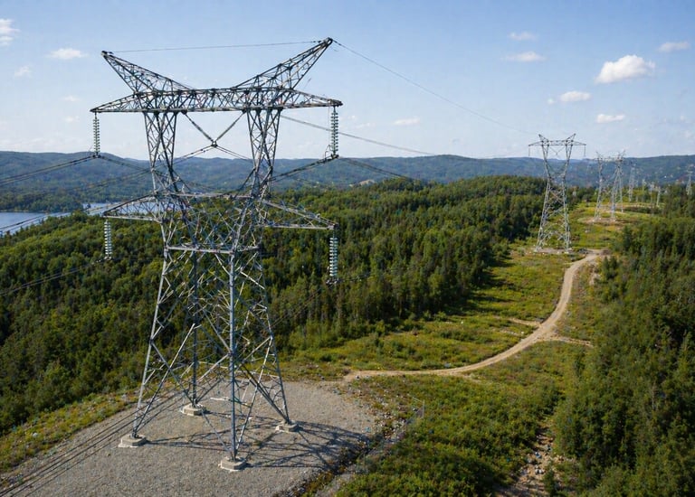
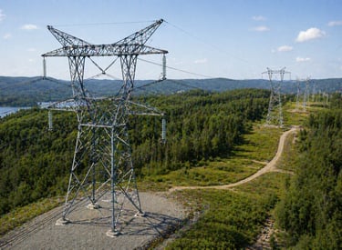
Infrastructure
Safe, high-resolution monitoring of towers, bridges, and hard-to-access areas.
Oil & Gas
Showcase massive tracts of land before the first shovel hits the dirt.
Residential & Commercial Roofing
Fast and safe aerial roof inspections to document work and provide clear visual overviews.
→
→
→
→


Real Estate Development
Aerial monitoring and visual documentation for industrial assets
How We Help Your Project
Simple aerial solutions that help you stay informed, reduce risk, and keep projects on track
Site Visibility
Reliable Documentation
See your entire project clearly at every stage.
Capture accurate visual records for reporting and verification.
Better Project Control
Make faster decisions with clear, consistent updates.
Contact
Email: info@dronecaliper.com
Phone: (443) 813-3160
© 2026 DroneCaliper. All rights reserved.